David Rumsey
ArcGIS, QGIS or web apps can simply use this map with web map services. WMTS, TileJSON or XYZ tiles are provided for quick access to processed maps.
Sign in to get links.
Sign in to download GeoTIFF.
Overlay & compare
iiif viewer, iiif info json
Website
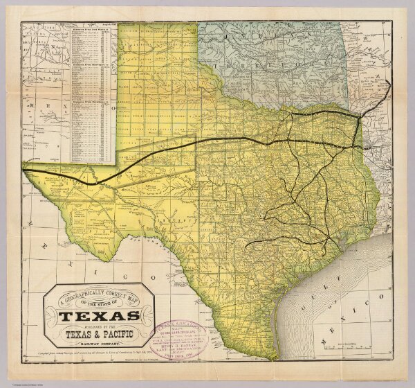
State of Texas.
3254.001
pilot4
A geographically correct map of the state of Texas. Published by the Texas & Pacific Railway Company. Compiled from actual surveys and containing all changes in lines of counties up to Sept. 1st, 1876. (1878)
1878
Texas and Pacific Railway
The Texas & Pacific Railway Company
50 × 46 cm
1 : 2600000